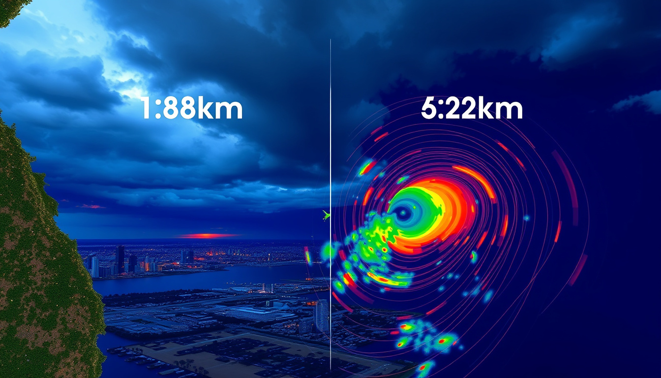
The Perth weather radar at Serpentine Airfield gives city residents a critical edge when storms roll in from the Indian Ocean. Knowing which view to use — 128 km, 256 km, or 512 km — determines whether you get precise suburb-level timing or a broad regional picture. This guide covers how to access the official Bureau of Meteorology feed, what each range actually shows you, and which third-party platforms add useful context.
Primary Radar Location: Serpentine, near Perth ·
Standard Coverage: 128 km radius ·
Official Source: Bureau of Meteorology (BOM) ·
Update Frequency: Every 5 minutes ·
Extended Views Available: Up to 520 km
Quick snapshot
- The Perth (Serpentine) radar is a Leonardo Meteor 1700SDP, S-band system operated by the Bureau of Meteorology (Bureau of Meteorology)
- It sits at Serpentine Airfield and has typical 24-hour availability (Weatherzone)
- Intense thunderstorms can be detected up to 250 km away (Weatherzone)
- Update intervals vary slightly across third-party radar platforms — BOM itself refreshes every 5 minutes, but mirrored feeds may lag
- Precise system maintenance schedules are not publicly published by the Bureau of Meteorology
- Current radar products remain active and publicly accessible; no announced upgrades to the Perth installation as of this writing
- Third-party platforms like The Weather Chaser continue to offer extended-range mirrors of the same feed
- If you need day-to-day rain tracking, the 128 km BOM view is sufficient for most users (Home Assistant BoM Radar Loop Addon)
- For broader regional monitoring across WA, the 512 km view gives you the wider picture without needing additional equipment (The Weather Chaser)
| Attribute | Value |
|---|---|
| Main Radar Site | Serpentine Airfield, WA |
| Radar Model | Leonardo Meteor 1700SDP, S-band |
| Official Provider | Bureau of Meteorology (BOM.gov.au) |
| Typical Range | 128 km |
| Maximum Detection Range | 250 km |
| Max Extended Range | 520 km |
| Update Frequency | Every 5 minutes |
| AP Susceptibility Zone | Up to 60 km along coastline |
Perth weather radar 128 km
The 128 km range is the Bureau of Meteorology’s standard product for Perth and the view most weather apps pull from. It balances coverage with resolution, making it the right choice for everyday rain tracking in the city and surrounding suburbs.
Live view from Serpentine radar
Access the official BOM feed directly at Bureau of Meteorology radar products. The page offers multiple loop options: 5-minute rainfall updates, 1-hour totals, since-9-am accumulations, and Doppler wind data. Each product is time-stamped so you can confirm how recent the image is before trusting it for a decision.
Weatherzone mirrors the same source data but wraps it in a cleaner interface with additional layers for cloud cover and forecasts. Their Perth page presents the 128 km radar alongside contextual data that helps non-meteorologists interpret what they’re seeing.
Weatherzone adds interpretive context the BOM raw feed doesn’t provide — making it more accessible for non-specialists who need to make practical decisions based on radar data.
Coverage and update details
Perth (Serpentine) Weather Watch radar has good coverage in all directions, according to Elders Weather. The 128 km range provides moderate coverage with good resolution — recommended for most users, per technical documentation from the Home Assistant BoM Radar Loop Addon. Images refresh every 5 minutes from the Bureau of Meteorology’s own servers.
At 250 km distance, the radar senses weather system structure well above ground level and may give a misleading view of actual surface rainfall intensity, according to Weatherzone. The 128 km view keeps you closer to the action where surface-level data is most reliable.
How to use live BOM Perth rain radar
The BOM provides four distinct 128 km products for Perth. The 5-minute loop (IDR70A) is best for real-time storm tracking. The 1-hour loop (IDR70B) helps you see rainfall accumulation patterns. The since-9-am product (IDR70C) gives you a full morning picture useful for commuting or outdoor morning plans. The Doppler wind product (IDR70I) shows wind velocity — valuable if you’re monitoring the approach of a cold front or thunderstorm outflow.
The implication: for anyone trying to decide whether to reschedule an outdoor event or time a commute, the 128 km loop gives the clearest picture of what is actually happening at street level.
Perth Radar 512 tracker live
When you need to see weather systems further out — approaching from the Indian Ocean or tracking a front moving across regional WA — the standard 128 km view cuts off too early. That’s where the extended 512 km range becomes useful.
Tracker features and access
The Weather Chaser offers a live interactive Perth radar covering 512 km with updates every 5 minutes, rainfall intensity color coding, animation controls, and access to historical data. The service is freely accessible to the public and mirrors the BOM feed with a wider display radius.
The 512 km range provides the widest coverage with reduced resolution, according to the Home Assistant BoM Radar Loop Addon. You gain situational awareness at the cost of fine detail — individual storm cells are harder to isolate, but broad patterns are easier to track.
Comparison to standard 128 km
The 256 km range sits between the two as a middle option — wide coverage with medium resolution suitable for regional weather monitoring, according to the same Home Assistant BoM Radar Loop Addon technical documentation. If you’re a farmer checking whether rain will reach your property 150 km inland, the 256 km view may be the sweet spot. For city residents worried about the storm hitting their suburb, the 128 km view with its better resolution is more practical.
Extended range views sacrifice resolution for breadth. A cell that looks intense on a 512 km display may be producing much lighter rain at ground level — the further the beam travels, the higher it samples above the surface.
The implication: maritime operators and freight companies monitoring cold fronts across the Indian Ocean get genuine value from the 512 km view, but suburban users chasing precise arrival times should stick with 128 km.
Perth weather radar Weatherzone
Weatherzone is one of the most-used third-party platforms for Australian weather data, and their Perth radar page brings the BOM feed into a more consumer-friendly presentation with contextual overlays and interpretation aids.
Weatherzone radar specifics
Weatherzone presents the Perth (Serpentine) radar with 128 km coverage alongside rain radar layers, cloud cover imagery, and forecasts, all sourced from the Bureau of Meteorology feed. Their page is particularly useful because it explicitly notes when the radar is detecting phenomena at extended range — for example, flagging that intense thunderstorms can be seen up to 250 km away while noting the interpretation caveats at that distance.
How to view Perth WA 128 km radar
Navigate to Weatherzone’s Perth radar page. The interface defaults to the 128 km rain radar loop. You can toggle between rainfall intensity colors, enable cloud-only views, and layer forecasts underneath. The page also displays the current radar status and any maintenance notices from the Bureau of Meteorology.
What this means: Weatherzone earns its user base by translating raw radar data into decisions ordinary people can act on, without requiring meteorological training.
Perth Radar 520km
Most users won’t need the full 520 km range, but for maritime interests, regional freight operators, or anyone monitoring weather systems across a wide swathe of Western Australia, the extended display options matter.
Extended range benefits
At maximum range, the radar can detect intense thunderstorms or cold fronts up to approximately 250 km away, according to Weatherzone. The 520 km display view available through some platforms extends the visual coverage further, though interpretation becomes increasingly qualitative at those distances. The practical detection range for actionable surface rainfall data is shorter than the visual display radius.
Sources providing 520 km view
The Weather Chaser offers the widest publicly accessible view of the Perth radar feed, with their live Perth old BoM radar covering 512 km. Platforms displaying 520 km views are typically using the same underlying BOM data with a zoomed-out rendering — the resolution loss is significant, but the wider situational picture is preserved.
The pattern: commercial shipping operators and emergency services planners are the primary beneficiaries of the widest available views, not everyday residents checking if they need an umbrella.
Perth weather radar bom tomorrow
Radar shows you what’s happening now, but most people checking radar want to know what comes next. The Bureau of Meteorology integrates forecast data with radar products, and several third-party platforms layer hourly forecasts directly on top of the live feed.
BOM forecast radar integration
The Bureau of Meteorology provides radar products alongside detailed guidance on interpreting radar images and wind data, according to the Bureau of Meteorology product pages. The BOM website also offers forecast text and rainfall probability maps that complement the live radar view. When used together, these tools give you both the current snapshot and a reasonable forward projection.
Accessing tomorrow’s radar outlook
For a forward-looking view, use the BOM’s hourly forecast products alongside the radar loop. The Weather Chaser offers 7-day hourly forecasts for thousands of Australian locations alongside their live radar display, making it straightforward to cross-reference what’s showing on radar now with what’s likely in the next 24-48 hours. Weatherzone similarly layers forecast data onto their radar interface.
Radar shows precipitation, not temperature or exact rainfall amounts. A cell that looks dramatic on radar may produce light drizzle at ground level — particularly at ranges beyond 150 km where the beam samples higher in the atmosphere.
The implication: radar data is most actionable when combined with BOM forecast text, and the best platforms make that integration seamless rather than requiring you to toggle between separate tools.
Radar range comparison
Three range options dominate the Perth radar landscape, each suited to different user needs — from precise suburban storm tracking to broad regional monitoring.
| Range | Resolution | Coverage | Best Use Case |
|---|---|---|---|
| 128 km | Good | Moderate | City and suburban storm tracking, everyday rain monitoring |
| 256 km | Medium | Wide | Regional weather, property owners 100-150 km from Perth |
| 512 km | Reduced | Widest available | Broad WA coverage, maritime interests, cold front monitoring |
The trade-off is straightforward: shorter range means better resolution and more accurate surface rainfall estimates; longer range means sacrificing that detail for wider situational awareness.
How to access Perth weather radar
Accessing Perth’s radar is free and straightforward — the challenge is choosing which platform matches your actual need rather than defaulting to whatever appears first in search results.
- Go to the Bureau of Meteorology radar page. Visit Bureau of Meteorology radar products and select the Perth (Serpentine) radar. Choose your preferred product — 5-minute loop for live tracking, 1-hour for accumulation, Doppler for wind.
- Pick a third-party platform if you want better interpretation. Weatherzone and The Weather Chaser both mirror the BOM feed with additional interface layers and contextual data.
- Select your range view. Default to 128 km for anything within the Perth metro area. Switch to 256 km or 512 km when you’re monitoring systems still far enough away that the wider view adds value.
- Layer in forecast data for forward planning. Use BOM hourly forecasts alongside the radar loop, or use The Weather Chaser’s integrated 7-day hourly forecast to cross-reference what’s showing on radar now with what’s likely to arrive.
The consequence for most readers: your smartphone weather app is probably already pulling the 128 km BOM feed. You only need to visit the sources directly when the app’s interpretation doesn’t give you enough confidence to make a call.
What to know before you trust the radar
The Perth radar is a powerful tool, but it has documented quirks that can mislead users who don’t know what they’re looking at. Understanding these limitations keeps you from making decisions based on false echoes.
Anomalous propagation along the coast
The Perth radar is susceptible to anomalous propagation for distances up to 60 km along the coastline and seaward, according to Weatherzone. This phenomenon produces low-intensity echoes on radar displays that look like rain but aren’t — caused by temperature inversions or atmospheric conditions that bend the radar beam back toward the surface. Elders Weather notes that anomalous propagation appears as an area of low intensity echoes that can be mistaken for actual precipitation.
False mirror echoes from cold fronts
False mirror echoes approaching from the southeast have been occasionally observed as intense cold fronts approach from the southwest, according to Elders Weather. This is a regional phenomenon specific to Perth’s geography and storm track patterns — a cold front arriving from the southwest can produce a mirrored echo on the southeast side of the display that looks like a second system but isn’t real.
Signal attenuation over the radar site
Heavy rain directly over the Perth radar site causes attenuation of all signals, reducing returned data during intense local rainfall events, according to Weatherzone. Path attenuation occurs when the radar beam passes through intense rainfall, reducing returned signals from cells further along the path, per Elders Weather. In practical terms: when it’s absolutely pouring at Serpentine Airfield, the radar may underreport rainfall in the cells behind that heavy core.
The radar is susceptible to anomalous propagation (AP) for distances up to 60 kilometres along the coastline and seaward of it.
— Weatherzone (weather service provider)
Intense thunderstorms or cold fronts can be detected up to 250 kilometres away; however, at this distance the radar is sensing the structure of the system well above the ground and may give a misleading view of the actual surface rainfall intensity of the system.
— Elders Weather (weather service provider)
For Perth residents, the takeaway is clear: the BOM radar is the authoritative source, the 128 km view handles most everyday needs, and the extended 512 km view is the tool to reach for when you’re monitoring approaching systems. Weatherzone earns its place by adding interpretation that the raw feed doesn’t provide. Watch out for anomalous propagation near the coast and be skeptical of echoes at maximum range — both are documented quirks that catch people who don’t read the fine print.
Related reading: Perth to Adelaide Flights · Perth Airport Departures
Frequently asked questions
What is the coverage of Perth weather radar?
The standard coverage is 128 km radius from Serpentine Airfield, with detection capability up to 250 km for intense systems like thunderstorms and cold fronts. Extended range displays up to 512 km are available through third-party platforms like The Weather Chaser.
How do I view live BOM Perth rain radar?
Go to the Bureau of Meteorology radar products page and select the Perth (Serpentine) radar. Choose from 5-minute loops, 1-hour accumulation, since-9-am totals, or Doppler wind displays. Weatherzone and The Weather Chaser also mirror this feed with additional interface features.
What is the difference between 128km and 512km Perth radar?
The 128 km range offers moderate coverage with good resolution — recommended for most users tracking weather in the Perth metro area. The 512 km range provides the widest coverage but with reduced resolution, better suited for monitoring regional weather patterns across WA or tracking approaching cold fronts before they reach the city.
Where can I find Weatherzone Perth radar?
Weatherzone’s Perth radar page presents the 128 km BOM feed alongside rain radar layers, cloud cover imagery, and forecasts. It adds interpretive context — like flagging when detection at extended range may be misleading — that the raw BOM feed doesn’t provide.
Does Perth weather radar show tomorrow’s forecast?
Radar shows current precipitation, not forecasts. However, the Bureau of Meteorology’s forecast pages integrate alongside radar products. The Weather Chaser layers 7-day hourly forecasts directly on their radar interface, making it easy to cross-reference what’s on radar now with what the models suggest is coming.
How often is Perth radar updated?
The Bureau of Meteorology updates the 128 km Perth radar every 5 minutes, according to Bureau of Meteorology product documentation. The Weather Chaser’s 512 km feed also updates every 5 minutes, mirroring the BOM cycle.
Which Perth radar is best for storm tracking?
For city and suburban storm tracking, the 128 km BOM view provides the best resolution for accurate surface rainfall estimates. Use it when you need to know precisely when rain will hit your suburb. Switch to the 512 km view only when monitoring systems still far enough away that seeing the broader pattern matters more than fine detail — and be aware that resolution decreases significantly at extended range.

Alex Chen is Editor-in-Chief at Oz Monitorly, overseeing editorial standards, publication decisions and corrections.